
Tewksbury ZIP Code Directory Coverage
The official postal evidence in the research identifies Tewksbury with ZIP Code 01876. That is the town’s confirmed postal label, not a published municipal-boundary map. The same USPS label list identifies nearby Tyngsboro as 01879, a useful warning when an address search returns a northern Middlesex result that is not in Tewksbury. No official source reviewed supplied a Tewksbury ZIP boundary polygon, a postal realignment history, a PO-box-only ZIP, or a unique institutional ZIP. The table therefore distinguishes confirmed information from nearby context rather than filling gaps with a guessed coverage pattern.
| ZIP | Areas Covered | Post Office | Notes |
|---|---|---|---|
| 01876 | Tewksbury postal-city result | USPS city label: TEWKSBURY MA | Confirmed by the USPS label list effective August 1, 2025; it is not a legal town boundary. |
| 01879 | Nearby Tyngsboro postal-city result | USPS city label: TYNGSBORO MA | Do not treat an 01879 match as evidence that a parcel is in Tewksbury. |
A ZIP code directory should begin with that limit. A code is a postal routing tool. Parcel, municipal, court, school, and voting records need their own geographic test. When a complete address is known, use the address and the town name alongside the code.
Tewksbury ZIP Code Postal Check
The USPS city and state lookup is the right first check for deliverability and the preferred postal city. It is not a way to decide whether an address is legally inside Tewksbury. A mailing city can differ from the municipality, and an area search using only 01876 is still only an area lead. Keep four labels separate in a research note: ZIP, postal city, municipal town, and county. That practice makes it clear which part of an address was confirmed by which source.
The USPS label-list evidence is especially useful for a nearby result. It directs a searcher who sees 01879 toward Tyngsboro rather than silently converting it into a Tewksbury record. The research did not locate a postal-boundary polygon or an official former-name table, so a difficult address needs an address-level comparison rather than an assumed line on a map.
The official USPS ZIP lookup is the postal source used to check Tewksbury mailing labels.
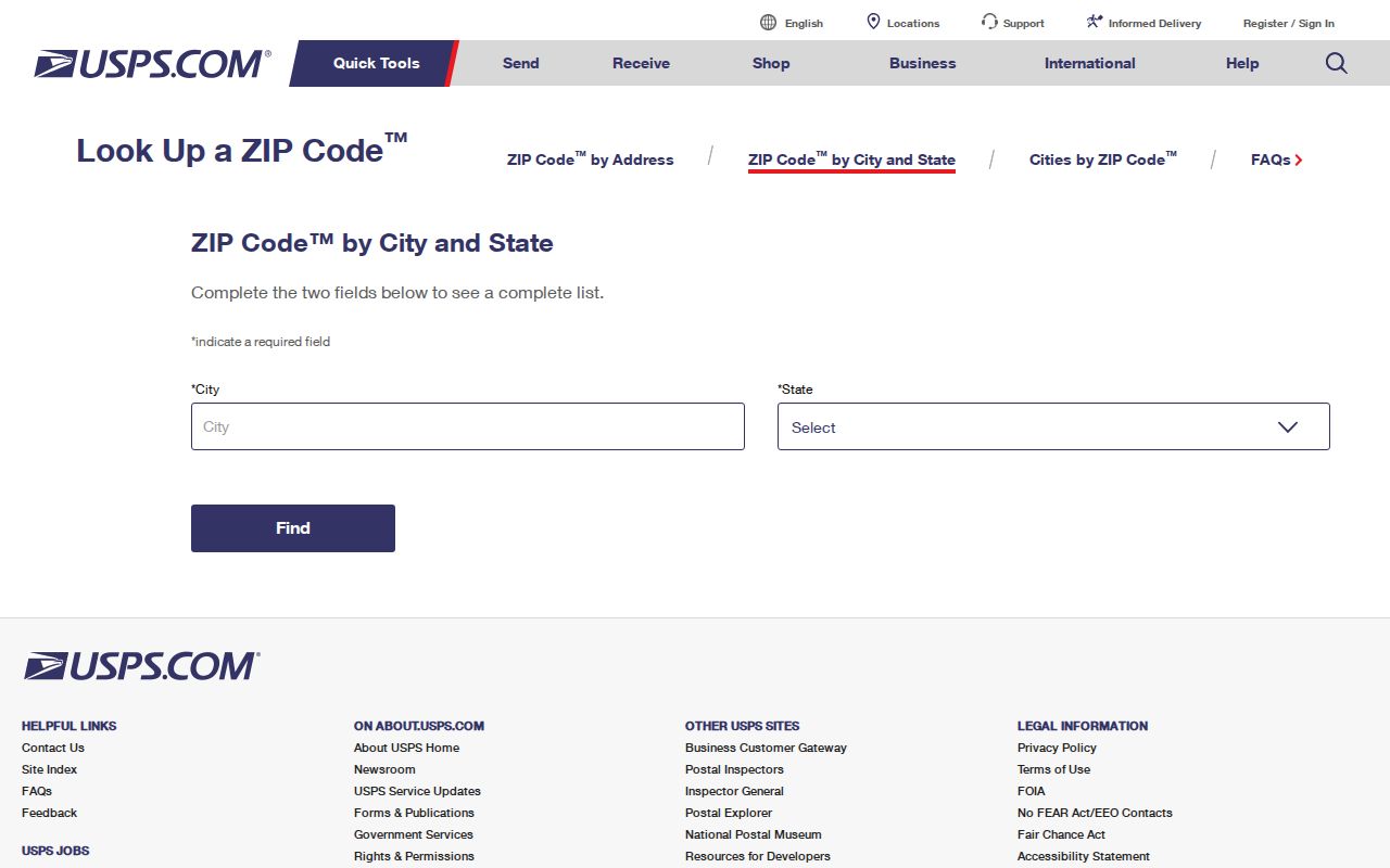
The lookup supports a postal check before town, parcel, or voter records are compared.
Tewksbury ZIP Code Portal Fields
Among the official systems reviewed, the Massachusetts Voter Registration Status form is the clearest ZIP-capable portal. It is an individual-status tool, not an unrestricted list of voters. The form calls for the person’s first and last name, date of birth month, day, and year, a five-digit residential ZIP, and agreement to the use statement. Its ZIP field is part of identity matching. It does not turn a ZIP code directory into a list of residents, and protected voter fields should not be sought or reproduced.
| Field label | Format or purpose |
|---|---|
| First name | Individual name field used with the last name. |
| Last name | Individual name field used with the first name. |
| Date of birth | Month, day, and year are required by the status form. |
| Residential ZIP | Five-digit residential ZIP used as part of the individual lookup. |
| Agreement | User acknowledgment required before the status search proceeds. |
The polling-place lookup takes a different path. It accepts a street number, street name, suffix, and either city or town or ZIP. That tool helps check election geography for a full address. Public voter files are requested from the local election office under the applicable rules, not drawn from the individual status form. The research notes that phone, email, confidential-voter status, veteran status, permanent-absentee status, and minor-related information are not public in the ordinary voter list.
Tewksbury ZIP Code Directory Search Steps
A ZIP-first search narrows an address question but needs an address or town-level follow-up. The assessor form has no dedicated ZIP field in the inspected screen. It searches by Address, Owner, Acct#, MBLU, PID, or All, then the result can be checked for its mailing ZIP. MapsOnline includes ZIP in its abutter mailing-address schema, but it is not a postal-boundary tool. The Middlesex North deed portal is town-filtered and address-oriented, which makes it a better land-record route once the town is known.
- Use the USPS lookup to confirm the postal label for the full address or city-and-state search.
- When the address is in Tewksbury, search the Vision assessor by address or use All search, then record the result’s address and mailing ZIP separately.
- Open MapsOnline by address, owner, or parcel ID to compare the parcel location, address, and applicable map layers.
- Use the voter-status or polling-place tool only for its stated individual or address question, with the required information.
- For a deed or title trail, search the Middlesex North portal by town and address, then pivot to owner name when an older address does not return a result.
Once a ZIP result is narrowed to a specific road, the Tewksbury street directory provides the fuller address-record trail. The ZIP code directory stays focused on postal geography, while an address workflow can compare assessor, GIS, permit, and Registry records.
Note: The assessor’s address and All modes are useful for checking a found record, but neither is a dedicated Tewksbury ZIP search.
Tewksbury ZIP Code Mailing Fields
The Tewksbury GIS is useful after an address or parcel is known. Its search controls are Owner, Parcel ID, and Address. A parcel result can show CAMA ID, situs address, owner or owners, mailing address, parcel ID, and map or lot information. The abutter-oriented schema also includes Address2, town, state, and ZIP. Those fields are valuable because they separate the physical parcel from a mailing contact, but they must not be collapsed into a claim that an owner occupies the parcel.
MapsOnline also provides parcel polygons, streets, address numbers, voting precincts, zoning, wetlands, flood layers, town-owned parcels, and aerial basemaps from 1995 through 2023. The town describes the display as informational rather than a survey, legal description, or guarantee of accuracy. A recorded deed or plan is the proper next source for a legal boundary question. For a plain mailing question, preserve the ZIP exactly as shown and note whether it came from the postal tool or the GIS mailing field.
Tewksbury ZIP Code and City Limits
ZIP codes and city limits are different systems. A ZIP is used for mail routing. Town boundaries, parcel lines, voting precincts, zoning, school districts, and flood layers are legal or administrative geographies. A street can share a ZIP with a nearby town, and a preferred postal city can differ from the municipality named on a parcel. That is why a Tewksbury ZIP code directory cannot decide a town-limit question by itself. Compare an address against the town’s GIS, the assessor record, and the land-record district when the location matters.
The research did not locate an official Tewksbury ZIP-boundary map or a comprehensive former street-name or renumbering register. That absence is a result, not a gap to fill by guesswork. Historic address work may need the library’s directories, telephone books, newspapers, annual reports, maps, Sanborn microfilm, and cross streets, then an owner or grantor/grantee search if the Registry’s older address indexing falls short.
- ZIP and ZIP+4
- A ZIP is the five-digit postal routing code. ZIP+4 adds four digits to direct mail more precisely within that ZIP.
- PO-box ZIP
- A postal code used for post office boxes rather than a general delivery area. No Tewksbury PO-box-only ZIP was documented in the research.
- Unique ZIP
- A code assigned to one organization or institution. No Tewksbury unique ZIP was documented in the research.
- Carrier route
- A postal delivery sequence within an area. It is not a municipal or parcel boundary.
Tewksbury ZIP Code Geography Layers
MapsOnline supplies the comparison layer that a postal tool does not. Its public map includes parcel and parcel-ID layers, streets and address numbers, voting precincts and sub-precinct 5A, zoning, wetlands, FEMA flood layers, vernal pools, and aerial imagery from 1995 through 2023. A ZIP match may be useful for starting a search, but these other layers answer distinct questions. A voting precinct is not a postal zone. A flood layer is not a parcel line. A historical aerial is not proof of the current legal address.
That distinction is a useful local check when addresses are close to a town edge or have old postal references. Record the layer and date used, then compare the result to the full address and the appropriate custodian’s record. For a Tewksbury ZIP code directory, the map is supporting context, not a substitute for the USPS postal result.
USPS label-list material provides the source view that confirms the postal-city reference for the Tewksbury ZIP Code Directory.
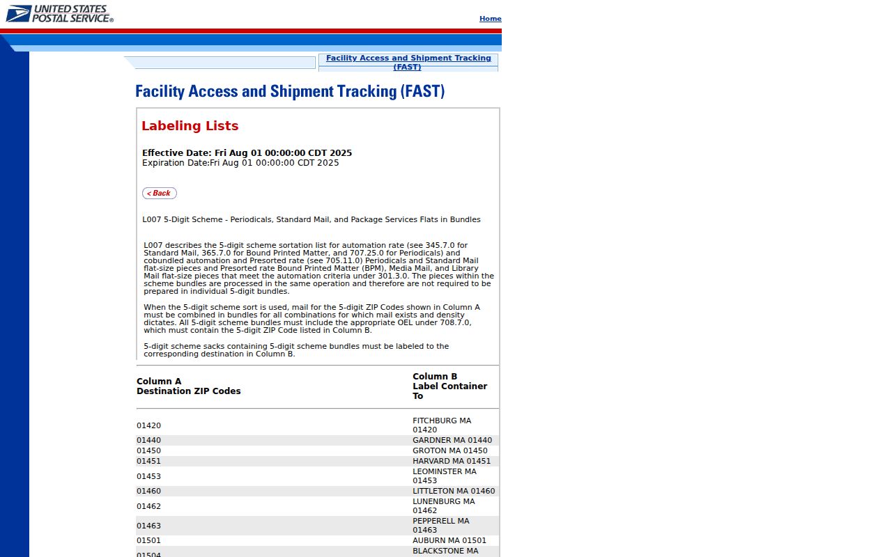
Use the postal label alongside, not instead of, the town’s parcel and map records.
Tewksbury ZIP Code Record Fallbacks
When a postal result and a town record do not line up, check the source layer before deciding there is an error. USPS is the postal check. The assessor and GIS are town records. Middlesex North is the controlling land-record district for Tewksbury. The Tewksbury Town Clerk, engineering, or assessor offices can answer a focused addressing question by phone, and a narrowly described public-records request can seek an official road-name or addressing record. The library’s maps, directories, annual reports, newspapers, and microfilm are the documented historical fallback.
For an old address, preserve the street name, house number, owner, nearby cross streets, date, and any parcel or book-and-page reference. The Registry advises that its address index is weaker before the late 1990s, so an owner or grantor/grantee search may succeed where an old address fails. A ZIP code directory can flag the mismatch, but the confirmation rests with the record that governs the question.
Note: No official postal-boundary polygon, ZIP realignment history, or broad former-address register was located for Tewksbury during the research run.