
Tewksbury Neighbor Block Sources
At a Tewksbury address, one record can lead to several others, but none is a master roll of the people nearby. Tewksbury MapsOnline is the formal starting point because its abutter display is built around adjoining parcels. The Tewksbury assessor record adds current roll information. The Tewksbury Town Clerk can provide a certified abutters list when a formal notice question requires it, while local election records and historical material answer narrower, date-bound questions. Keep the Tewksbury source and date beside every result.
| Source | What It Shows About a Block | Access |
|---|---|---|
| Tewksbury MapsOnline GIS | Parcel IDs, locations, owners, mailing fields, and abutter context around a selected parcel. | Free public map |
| Vision assessor roll | Current owner, location, mailing address, assessment details, and parcel identifiers. | Free online search |
| Certified Abutters List | Officially prepared notice list for the requested parcel or parcels. | Town request, fee and turnaround apply |
| Local election records | Precinct geography and releasable voter-file information under state rules. | Town custodian or state tools |
| Library street lists | Older, incomplete household evidence tied to a particular period. | Local-history access |
An owner may receive mail elsewhere, and an owner can be a trust, estate, business, or fiduciary. For that reason, Tewksbury parcel and tax records establish an ownership connection, not present-day occupancy or a full household list. A Tewksbury block is best handled as a set of dated record relationships rather than a list of presumed Tewksbury neighbors.
Note: A Tewksbury GIS line is an informational map feature, not a survey, legal description, or proof that two parcels share a boundary.
Tewksbury Block Map Fields
The Tewksbury MapsOnline GIS Public Map searches by owner, parcel ID, or address. Once a Tewksbury parcel is identified, its visible context can include the CAMA ID, street address, owner, mailing address, parcel ID, streets, and address numbers. Its abutter-oriented fields are especially useful for a small radius: Parcel ID, Location, Owner(s), Mailing Address, Address2, Town, State, and ZIP. Read the Tewksbury fields as labeled rather than converting a mailing field into a claim about a resident.
| MapsOnline field or control | Block-lookup use |
|---|---|
| Address, Owner, Parcel ID | Find the starting parcel without guessing a lot number. |
| CAMA ID and parcel ID | Keep the selected property distinct from nearby lots with similar addresses. |
| Location and Owner(s) | Separate a parcel’s situs from the party named on its current roll. |
| Mailing Address and Address2 | Record the mailing destination as a separate field, not evidence of residence. |
| Voting and map layers | Place the block in civic geography while keeping parcel, zoning, and flood layers separate. |
MapsOnline also carries parcel IDs, streets, zoning, wetlands, flood layers, and aerial basemaps. Select one Tewksbury layer at a time. That makes it easier to see whether a change is a map layer, a parcel division, or a different kind of geographic boundary.
Trace Tewksbury Neighbors Outward
Start at one Tewksbury address and move outward by parcel, not by assumptions about the people on a street. This short sequence preserves the boundary between a map observation, an assessment record, and a title document. For a whole named street rather than the immediate Tewksbury block, use the Tewksbury street directory route.
- Find the address in MapsOnline and save the location, CAMA ID, and parcel ID shown for the starting lot.
- Use the parcel display and street layout to mark side, rear, and across-the-street lots separately. Do not call every nearby polygon an abutter.
- Open each selected parcel’s owner and mailing fields, then compare the current roll in the Vision assessor search by address, owner, MBLU, PID, account number, or All search.
- When title or a plan matters, check the current deed and plan references in Middlesex North records. Treat a recorded name as a title clue, not evidence of occupancy.
The Tewksbury GIS measure and print tools can preserve a research snapshot. A selected parcel’s display is still informational, so a boundary, easement, or title dispute requires the recorded deed or plan and, when needed, a qualified professional.
Tewksbury Neighbor Notice Records
A certified abutters list is the stronger Tewksbury route when a formal notice question cannot rest on a map display. The Town of Tewksbury charges $20 per parcel or list and generally requires at least five business days. For a linear project, the Tewksbury request calls for map and lot numbers plus owners’ names and addresses, with a separate request for each parcel. That scope is intentional: it is not a townwide directory.
- Abutter
- A parcel owner included for a notice purpose, using the town’s underlying assessor map and lot information.
- Certified list
- A town-prepared record used when a formal notice list is needed, rather than a casual reading of nearby map labels.
- Plan reference
- A recorded map reference that can explain how several lots or a development were laid out.
Source image: the town’s Certified Abutters List request page describes the local request route.
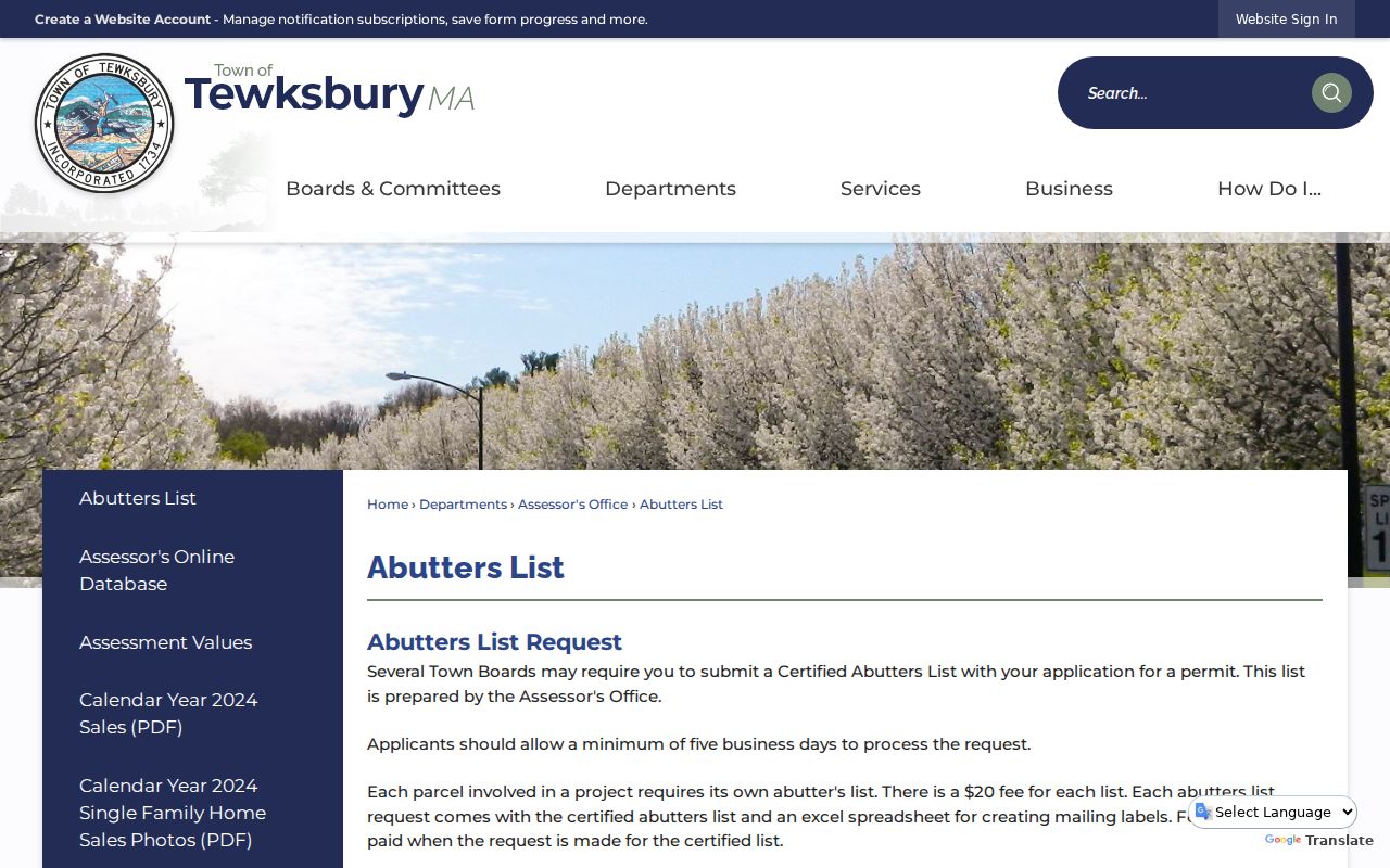
The request is useful for a defined parcel question. It does not establish who is currently in a building, who socializes on a block, or whether a map relationship is a legally surveyed boundary.
Tewksbury Neighbor Voting Geography
Tewksbury MapsOnline includes voting precincts and sub-precinct 5A, which can place a property in an election geography without revealing an individual ballot. The state’s individual voter-status form is intended for a person checking their own status and asks for name, birth date, five-digit ZIP, and agreement to its use statement. It is not a Tewksbury block-search tool.
Most Tewksbury voter and election records are requested from the local election office under defined rules. Public voter-list fields may include names, addresses, party or designation, date of birth, status, voter ID, voting history, and selected registration history. Phone, email, confidential-voter status, veteran status, permanent-absentee status, and some request-file fields are not ordinary public voter-list fields. Ask the Tewksbury Town Clerk for a specific precinct, date, file type, or election record instead of a broad resident file.
Tewksbury Community Neighbor Leads
No official townwide neighborhood-association roster was located in the sources reviewed for Tewksbury. The lack of a Tewksbury roster matters. The sources below can lead to a historical, civic, or business connection, but none should be presented as a complete address list or proof that a person lives at a particular address.
Tewksbury Public Library
Local History Room materials combine street lists, directories, maps, newspapers, annual reports, photographs, and oral histories. They are most useful when a year or street is already known.
Tewksbury Historical Society
A repository and referral point for town artifacts and photographs. Ask whether a collection is indexed, requires an appointment, or allows reproduction.
Tewksbury Agenda Center
Planning, Conservation, Historic, Assessors, Registrars, and zoning packets can connect a parcel or street to a dated public meeting record.
Wilmington-Tewksbury Chamber
The Wilmington-Tewksbury Chamber is a civic and business directory, not a townwide association index or household roster.
Source image: the Tewksbury Agenda Center is the official search point for meeting documents and public packets.
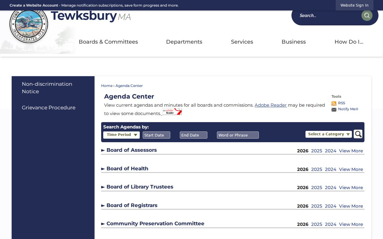
Search a Tewksbury packet by street, parcel ID, project, name, or date. A hearing packet can identify participants or abutters in that proceeding, but a proposal must be checked against the final Tewksbury vote, decision, deed, or permit.
Note: The regional chamber can identify a civic or business contact, but it cannot establish that an owner or member is a Tewksbury resident.
Tewksbury Neighbor Map Comparisons
Aerial imagery and recorded plans answer different Tewksbury block questions. MapsOnline offers aerial basemaps from 1995, 2005, 2008, 2011, 2014, 2017, 2020, and 2023. Comparing two dated Tewksbury aerials may reveal a subdivision, demolition, road alignment, or lot change. Aerials do not identify title or define a legal line.
A Tewksbury Registry plan can instead connect several lots to a development sequence. Older plan searches may work better with a street name than a street number, and a suffix letter or court case number can be decisive. Preserve the plan reference as written. It is the bridge between the current parcel pattern and a dated recorded document.
Tewksbury Neighbor Registry Quirk
Tewksbury belongs in the Middlesex North Registry district. A search in Middlesex South can create a false impression that a Tewksbury deed is missing. In Middlesex North, recorded-land name searching is strongest from 1976 forward, while address indexing is routinely strongest from the late 1990s. Older Tewksbury address misses should be checked by current owner, grantor and grantee indexes, book and page, or a plan reference.
Source image: the official Middlesex North Consumer Notification Service provides a free alert account for recorded documents matching a registered name, address, book and page, or property.
A Tewksbury alert is a property-fraud precaution, not proof of fraud and not a neighbor-search result. Review the recorded document, then contact the Registry or the proper authority if the record raises a concern.
Tewksbury Neighbors: Official or Commercial
Official Tewksbury rolls have defined custodians, stated fields, and clear limits. Generic commercial neighbor-lookup tools may combine copied public material with data of uncertain date or origin. They can be a lead only after it is checked against the Tewksbury official record that fits the question. Neither category turns an ownership record into a reliable list of people at an address.
| Official record route | Generic commercial neighbor tool | Careful use |
|---|---|---|
| GIS, assessor, deed, Town Clerk, or agenda record with a named custodian and date. | Compiled information that may mix old addresses, similar names, or unverified associations. | Use the official source to confirm the precise property or public event. |
| States what a parcel, title, election geography, or meeting file can establish. | May imply a personal connection beyond what a record actually proves. | Keep ownership, mailing, historical mention, and present presence separate. |
A dated Tewksbury official source also has a correction path. The Tewksbury assessor, Town Clerk, Registry, court clerk, or records custodian can explain access, redaction, or a record’s limits. A copied listing without that context cannot replace the source record.
Tewksbury Neighbor Privacy Limits
In Tewksbury, public access is not the same as unrestricted redistribution. Massachusetts voter guidance keeps several fields outside ordinary public voter lists, and M.G.L. c.66 §10B protects some home addresses, personal emails, and phone numbers for specified public employees, crime victims, public-safety personnel, and criminal-justice personnel. A Tewksbury release may therefore have redactions even when the underlying series is generally public.
The Massachusetts Address Confidentiality Program provides a designated substitute address and mail forwarding for qualifying participants. Do not try to infer an actual Tewksbury location from an assessor mailing field, a deed, social material, or an abutter display. The same restraint applies to confidential voter information, restricted court material, sensitive vital records, and protected information in Tewksbury public-record responses.
Lawful use. Use Tewksbury neighbor records for personal property curiosity, civic context, reconnection, and carefully bounded historical research. Do not use them to watch, threaten, harass, intimidate, or harm another person; Massachusetts criminal-harassment law can apply to a targeted pattern of conduct.
When online material for a Tewksbury record stops, use the documented channel that fits the record: call or visit the Tewksbury Town Clerk, assessor, library reference desk, Registry, or the relevant court counter; submit a narrow public-records request for a releasable series; or ask the Tewksbury local-history staff about maps, annual reports, directories, and microfilm. Record the search date, the exact query, the source URL, and any uncertainty rather than filling a gap with a guess.