
Find Tewksbury Street Records
For a Tewksbury street directory question, begin with the exact address returned by the assessment roll. The address opens the parcel record, while the owner name, parcel identifier, and mailing address help connect later searches. Those fields describe a tax and ownership record. They do not establish who is physically present at the address. Keep the current assessment year with the result, because the Vision record is a current roll rather than a complete ownership history.
Next, use the parcel viewer to see the lot in its Tewksbury street setting. Then move outward only as the question requires. A deed can establish a title transfer, a permit can place work at a location, and a dated street list can place a name at an address during its own year. The Town Clerk, Library, Registry, and town map each answer a different part of the question.
- Search the address in the Tewksbury assessment record and save the returned owner, parcel key, and assessment year.
- Open the parcel in MapsOnline, compare the address to nearby parcels, and note the map date and layer used.
- Check the current deed through Middlesex North, then follow its title reference or prior party names when a historical trail is needed.
- Search the permit portal by location for a dated property event, not as proof of a household.
- For a past Tewksbury street directory entry, ask the Library for the dated resident-by-street list or related directory.
Note: A matching address is a useful starting point, but every Tewksbury street result needs a date and record type before it supports a conclusion.
Search Tewksbury Street Directory Fields
Tewksbury Vision Government Solutions is the Town's assessment lookup. It provides several ways into the same Tewksbury street directory trail, which matters when an old address has an abbreviation or numbering difference. Start with Address. If that does not return a useful record, try the owner name, a known account number, MBLU, PID, or the All mode. The separate MBLU form exposes Map, Block, and Lot fields, each inspected with room for up to seven characters.
| Vision search field | Use for a Tewksbury address | Practical check |
|---|---|---|
| Address | Direct street-number and road search | Preserve the spelling Vision returns |
| Owner | Fallback after an address miss | Compare situs and mailing addresses |
| Acct# or PID | Known parcel or account reference | Use the identifier exactly as shown |
| MBLU | Map, block, and lot route | Check each component against the parcel map |
| All | Broad clue when the field is uncertain | Narrow the result against the address |
The Vision form does not state one historic coverage range. Its contribution is the visible current assessment record and its parcel keys. Tewksbury archive material separately supplies assessment values and commitments, while the Registry supplies the title evidence needed for a legal chain.
The official Vision search form shows the address, owner, account, MBLU, PID, and All routes used for this Tewksbury street directory research.
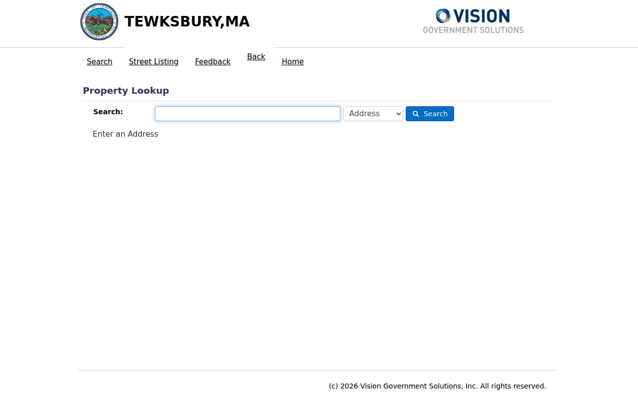
Using the returned spelling and parcel key from the form makes the next GIS and Registry searches much easier to reconcile.
Note: An owner name can belong to a trust, business, estate, or person who receives mail elsewhere, so it should not be treated as occupancy.
Read Tewksbury Streets in MapsOnline
The Tewksbury MapsOnline GIS viewer adds the spatial layer that the assessment form cannot show. Its owner, parcel ID, and address searches return CAMA ID, address, and owner context. Parcel identify, quick zoom, measurement, and printable map tools make it practical to read a Tewksbury street one lot at a time. The viewer is informational, not a survey or legal description.
The map layers are especially useful for a street directory investigation with a time or land-use question. Tewksbury provides parcel outlines, parcel IDs, address numbers, street names, town parcels, voting precincts and sub-precinct 5A, zoning, wetlands, FEMA flood data, vernal pools, habitats, contours, and aerial basemaps from 1995 through 2023. Turn layers on one at a time so a parcel boundary, road alignment, and aerial change are not confused.
See the official MapsOnline page before using the parcel viewer shown here.
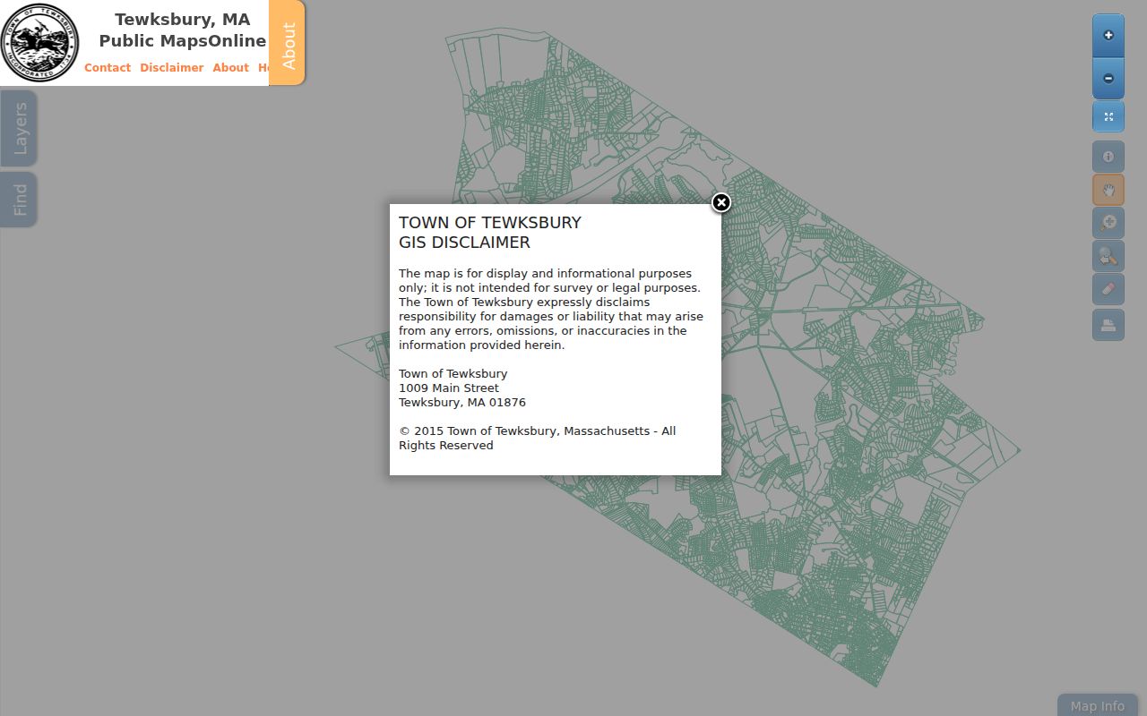
The public viewer is strongest for mapping a Tewksbury street, finding parcel context, and comparing official layers. A recorded plan or deed remains the next source when the question is a legal boundary.
- Parcel
- A defined piece of land represented in the assessment and GIS systems.
- Situs address
- The physical location associated with a parcel, which can differ from where the owner receives mail.
- Plat or plan
- A recorded map that can show lots, streets, and development layout.
- Criss-cross directory
- An address-oriented directory used to compare households by street and year.
Tewksbury Street Directory Sources
A complete Tewksbury street directory answer uses the record keyed to the question. The assessment roll and GIS identify a parcel and recorded owner. The Registry documents transfers. The permit portal documents a property event. Town street lists and Library directories place a name in a particular historical listing. The voter-status form is for an individual's own status; public voter records must be requested through the local election office and contain important protected fields.
| Address record | What it can show | Tewksbury keeper or route | Access channel |
|---|---|---|---|
| Assessment roll | Owner, parcel keys, assessment context | Vision assessor lookup | Free online search |
| Parcel and abutter map | Location, owner, mailing schema, nearby parcels, layers | MapsOnline GIS | Free viewer and Town contact |
| Recorded deed | Parties, date, instrument, book/page, plans | Middlesex North Registry | Free online, Lowell counter, phone or email |
| Permit | Property work and status | Building Department Viewpoint portal | Online, Town Hall kiosk, office, or focused request |
| Resident-by-street list | Dated household listing for ages 17 and over | Tewksbury Public Library | Reference desk, request, or Local History Room |
The parcel identifier is the bridge from the Tewksbury street address to maps and municipal records. The deed's book and page, instrument number, or title-reference paragraph becomes the bridge to an earlier transfer. A street name is less dependable in older Registry indexes, so it should be checked against a party name and legal description.
Check Tewksbury Address Permits
The Town's Viewpoint permit portal supports a location search. Select Search, enter an address in Locations, open the matched location, and inspect associated permits. Building, electrical, plumbing, gas, sheet-metal, and other permits can help date a property event along a Tewksbury street. They are not a resident list.
Read the status with care. Active can mean a permit is under review, issued, or possibly expired. Complete means the final inspection closed. Stopped means rejected, cancelled, or expired without final inspection. When an older permit is absent online, contact the Building Department at 978-640-4430, use the lower-level Town Hall kiosks, or make a narrow request for a releasable administrative record.
A permit result should be preserved with its type, date, description, and displayed status. Those details make it easier to compare the event to a deed or map without claiming that the record identifies every person associated with the address.
Trace Tewksbury Streets Through Deeds
For a Tewksbury street directory question about ownership over time, use MassLandRecords for Middlesex North, not Middlesex South. A search in the wrong district can look like a missing title. Recorded Land name searching is strongest from 1976 forward, and the Registry's Property Search covers 1976 to the present. Street-address indexing is most reliable from the late 1990s, so an address miss is a signal to try the current owner or book/page route.
Deeds from 1976 through 1986 can carry a document type of “none,” which is worth including in a deed search. Book Search reaches 1950 forward and Book 1132 onward. A modern deed's title-reference paragraph commonly points to the earlier conveyance. If it does not, search the seller in the grantee index. For 1855 through 1949, the unindexed property route requires book/page image inspection. Pre-1976 grantor and grantee scans require stepping through alphabetic pages.
Each Registry result should be read as a record of a transfer: party names, recording date, instrument number, town, book/page or registered-land certificate, document type, consideration when shown, title reference, plan reference, and image pages. The Registry search instructions explain those modes and address-abbreviation quirks.
Note: A recorded deed is evidence of a transfer, not a substitute for a title opinion, survey, or conclusion about a current household.
Tewksbury Street Lists Since 1965
Tewksbury Public Library holds the town directory called “List of Residents by Streets, Ages 17 Years and Over,” from 1965 to the present. The run is explicitly incomplete. That limitation matters: a missing person may reflect the age cutoff, an omission, a nonreturn, or a gap in holdings. Telephone directories from 1998 onward and the regional Cole Directory for 2005 through 2014 can provide nearby context, but they are different kinds of records.
The Library's Local History Room is open during regular library hours and offers basic help to walk-in researchers. Call the reference desk at 978-640-4490 extension 207, email reference@tewksburypl.org, or use Reference-Go for a focused question. Ask for a specific street and year, then retain the directory title and coverage date with any result. The historical collection is described in the Library's local-history resources.
The full directory shelf is handled in the Tewksbury City Directory. For an address trail, compare the desired year with the deed and map rather than treating one listing as final.
Tewksbury Address Gaps and Maps
Tewksbury does not have a single official street-renumbering or ZIP-boundary history in the sources reviewed. Address continuity needs a bridge record. Compare historic directories, aerials, maps, annual reports, Registry legal descriptions, and recorded plans before calling an old and current address the same place. Preserve “former address,” “current address,” or “possible match” until a plan or municipal source joins them.
Plans add an older local clue. Pre-1855 plans were renumbered into plan books 900, 902, 903, 904, and 905. Older plan searches may use a street name without a number; suffix letters and court case numbers can be material. A rod is 16.5 feet and a chain is 66 feet in the Registry's historical measurement context, so retain the original measure instead of silently converting it.
Historic aerials let a Tewksbury researcher compare 1995, 2005, 2008, 2011, 2014, 2017, 2020, and 2023 conditions. They can suggest a subdivision, demolition, road alignment, or lot split. They do not resolve an address change without support from a plan, deed, or town source.
Tewksbury Deed Alerts by Address
Middlesex North offers a free Consumer Notification Service for a registered name, address, or property. The alert can flag that a document matching the registration has been recorded. It is a practical Tewksbury street tool for a property owner watching the deed record, but it is not proof of fraud or a replacement for examining the document.
The Registry notes that deed copies available through MassLandRecords can be downloaded free, and that the Registry can help by phone or email. If an alert raises a concern, save the official document number, inspect the record, and contact the Registry or appropriate authority rather than relying on a message alone.
Tewksbury Street Directory Limits
A Tewksbury street directory cannot confirm every person at an address. Assessment and deed records center on ownership. GIS displays parcel and mailing information, which may point away from the physical site. The Library's street lists are dated and incomplete. Voter data has public and nonpublic fields, and confidential-voter information is not an invitation to reconstruct a protected address. Utility and delivery records are not a general public street roll.
Lawful use. Tewksbury street records are for personal research, family history, property context, and civic questions. Do not use an address trail to stalk, harass, intimidate, or harm anyone; Massachusetts law addresses criminal harassment.
For a legally required abutter notice, use Tewksbury's certified Abutters List rather than a map screenshot. The Town says it costs $20 per parcel or list, generally takes at least five business days, and requires map/lot numbers and owners' names and addresses for a linear project. That formal list has a different purpose from a neighbor search.